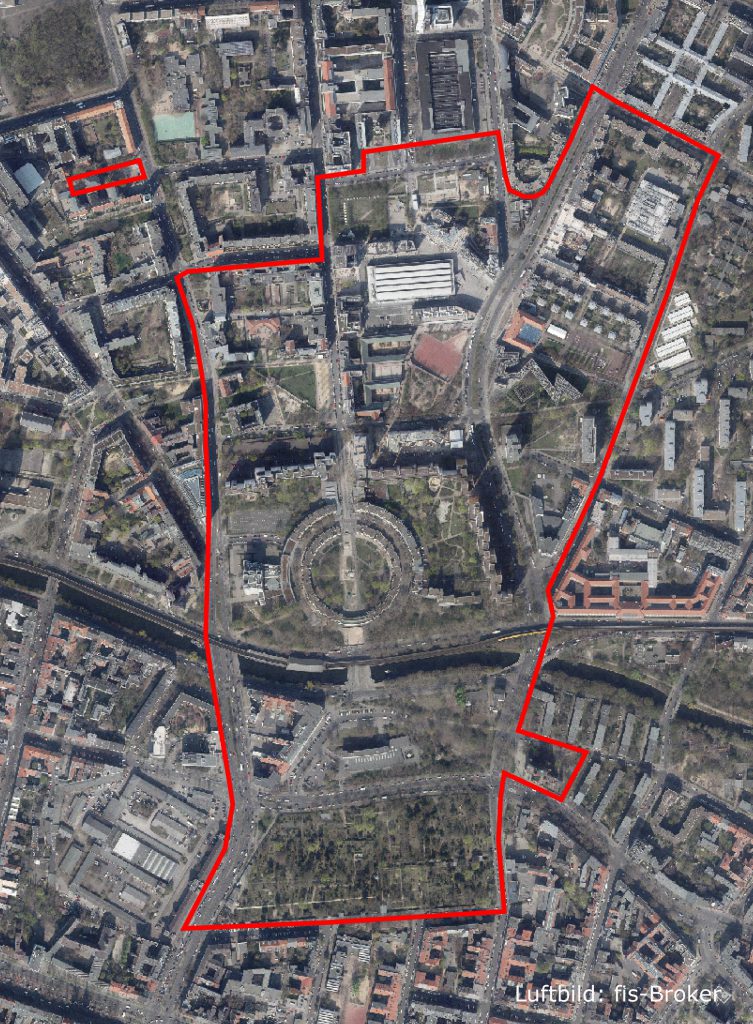
Switch on Mehringplatz
- Reset filters
-
layersCategories1Delimitationsfilter_listPlacesfilter_listMemoriesfilter_listTransformationsfilter_listStakeholdersfilter_listNarrativesfilter_listVisionsfilter_listItinerariesfilter_list
-
categoryTypes0MonumentBuildingProjectOrganizationPlaceProgramInterviewVideoEvent
-
tagsTags0historyWWIIartarchitectureculturesocial inclusionhousingurbanismheritageyouthsplatformPublic spaceUrban Policycommunity engagementofficeCreative industriesmediaworkspaceUrban regenerationparkdigitalcommonscoopquartiersmanagementcookingoral historyeventsfeminismEuropetoponymsmusicPsychogeographytemporary structuregardeningdemolition